Goldstream – W̱SÁNEĆ Fish Stream and Proposed Road Work

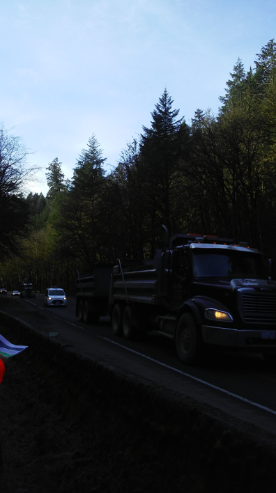
Trans-Canada Highway 1 – Goldstream Median Barrier Widening Project Overview

Elements of Project Footprint – Proximity to Goldstream Indian Reserve 13
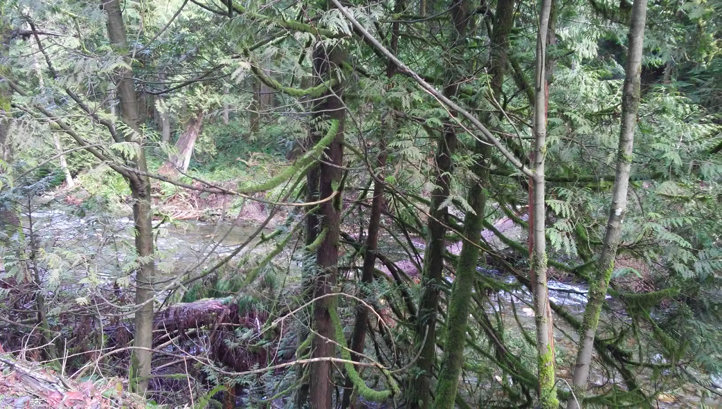
In the SENĆOŦEN language SELE₭TEȽ refers to people downstream – it is also the placename for the Goldstream River and surrounding area, where the province have proposed to do road work where the Trans-Canada Highway passes through Goldstream Provincial Park. Goldstream Indian Reserve 13 is adjacent to the northern part of the project. The Goldstream River supports chum, coho and chinook salmon fisheries, and small streams feeding into the river have been used for ritual bathing. Areas adjacent to where roadwork is proposed are used for the ongoing practice of W̱SÁNEĆ ceremonies such as the First Salmon Ceremony, and the exercise of rights including fishing and food gathering.

First Salmon Ceremony, 20 July 2022
Over the past year the W̱SÁNEĆ Leadership Council (WLC) Referrals Committee have learned of the provincial Ministry of Transportation and Infrastructure (MOTI)’s proposal to widen about 1.7 kms of highway, install a median barrier, improve access to Finlayson arm, complete pedestrian upgrades for safety, formalize and maintain a trail next to the river, connect Goldstream trails to other trails, and install a pedestrian crossing over the highway and river and an additional crossing under the highway. Part of the highway project plan is to blast rock, install retaining wall structures, a cantilever structure, and an enclosed drainage system with oil/water spill collection and separation devices near the Finlayson Arm Road intersection. The concrete storage tank that waters would be channelled into would be buried under the existing parking lot, and could contain up to a tanker of oil should another spill occur (4,500 litre capacity). MOTI have budgeted for a salmon habitat enhancement offset project as part of the proposal, and have stated that they could provide funds for additional salmon habitat restoration projects.
An upgrade to the Goldstream River Bridge is planned to occur within the next ten years, but is not part of this project. Climate change projections and assessment of how the changing climate may affect river flows over time were complete as part of a hydrotechnical report.
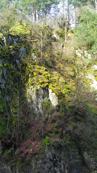
The WLC Referrals Committee’s main concerns with the project are the potential impacts to fish and fish habitat from activities in and about the stream, including the proposal to clear 715 trees (a mix of deciduous and conifer) from the road right of way and park, incursions into the stream and forested riparian buffer areas to build retaining walls and other structures, noise impacts to fish and other species from drilling, environmental impacts from disturbance of contaminated soils, and that blasting that can expose rock with potential to generate acid rock drainage and leach metals into water (toxic to fish), and may result in slides or other waterway impacts.
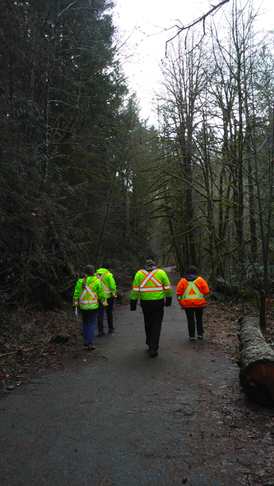
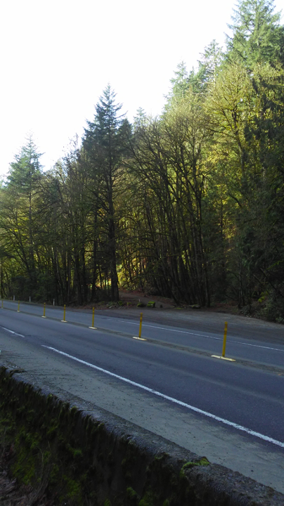
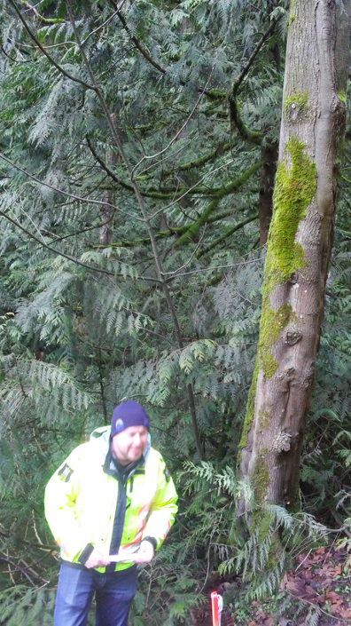
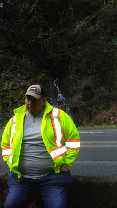
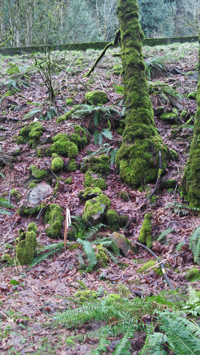
Given general concerns, technical staff participated in a site visit to Goldstream on February 15, and captured the following photos to document locations of proposed works. The photos are presented to convey a storey line for the project – they proceed in one direction from the south extent of the project (closest to Victoria) near the bridge that crosses the highway and the proposed pedestrian overpass location, to the north extent of the project (heading towards Nanaimo) and pedestrian underpass location at Niagara Falls.
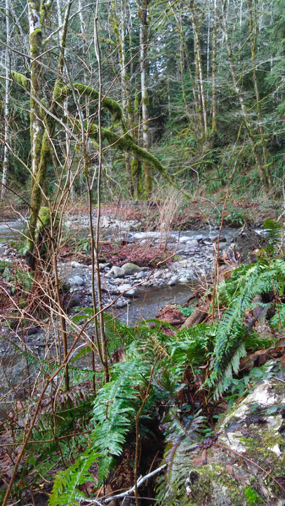
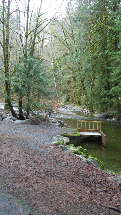
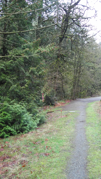
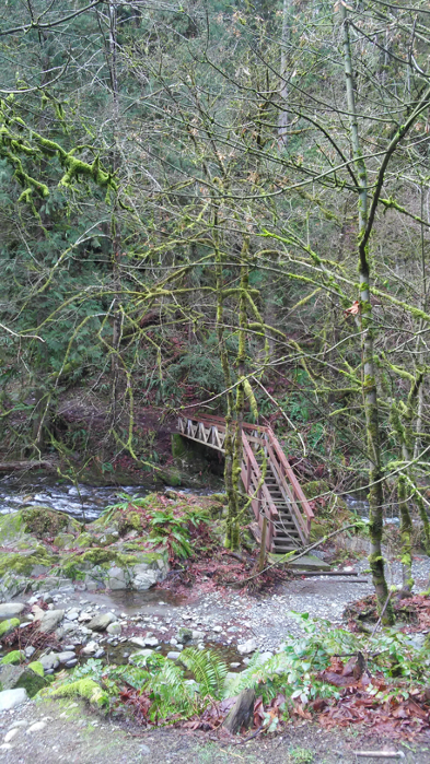
Locations of: 1) and 2) enhancement and access area near the hatchery; 3) where old road is to be converted to trail; 4) where a pedestrian overpass is proposed and 5) an old crossing to be removed
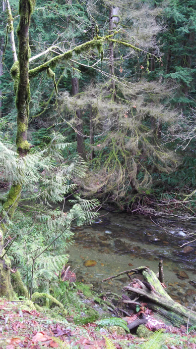
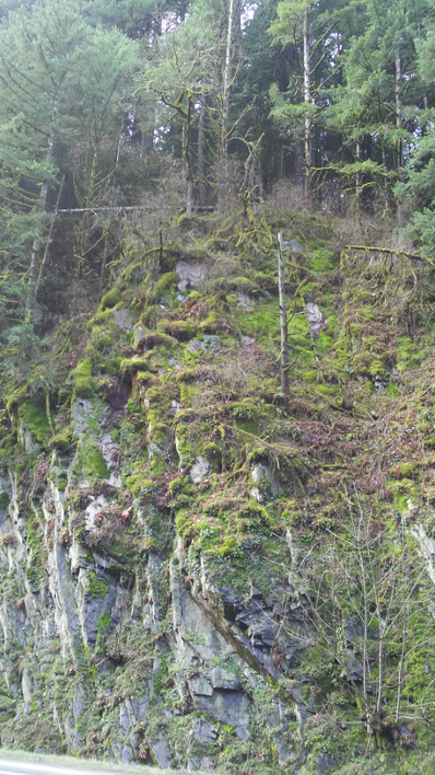
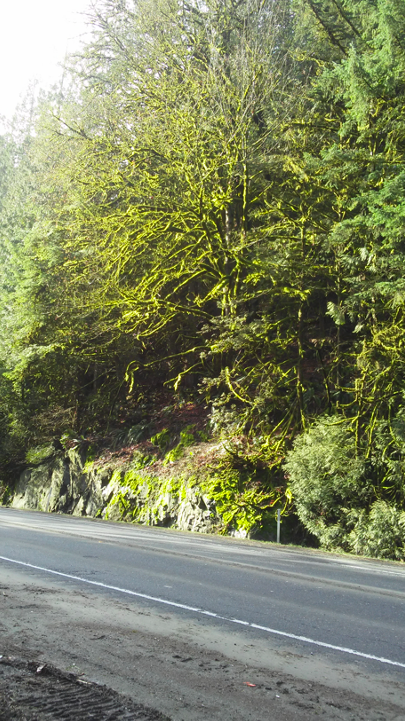
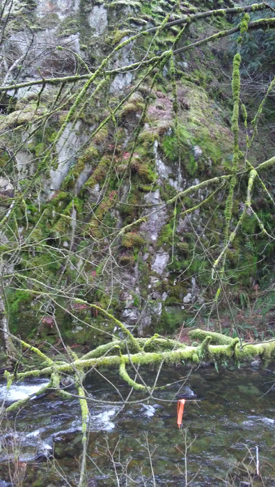
Area of: 1) stream opposite a blast area; 2) rock face to be blasted; 3) cedar over stream that may be impacted and could potentially be placed in stream as large woody debris/anchor; and 4) vegetation to be cleared and rock blasted and shotcrete wall proposed.
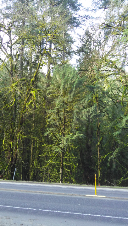
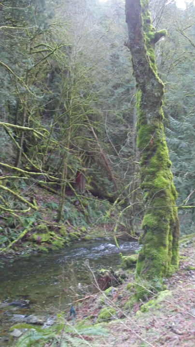
Areas where: 1) trees are to be removed; 2) old road pullout and parking area to be removed; 3) there is existing runoff from old highway – no plans to channel.
Proposed cantilever area looking: 1) upslope; 2) down at stream; 3), 4) and 5) riparian sections next to highway where trees would be cleared
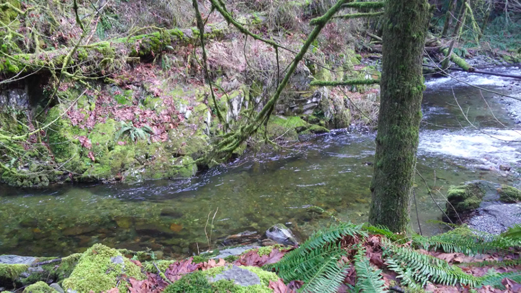
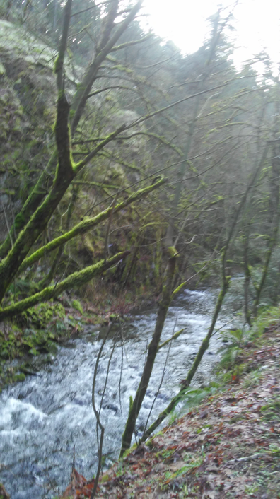
Photos include: 1) Stream bank near Finlayson parking lot where retaining wall and alder harvest proposed, and 2) stream section to the south where waterfall on opposite side of highway is to be isolated and flow direct to river

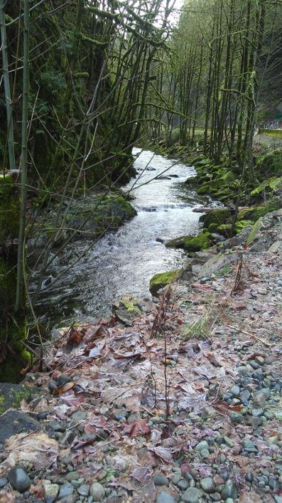
Section of Goldstream River where the streambank and trails often wash out
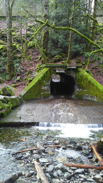
Proposed location of new underpass, about 50-75m from existing underpass that is not passable when Niagara Creek has much volume.
In the past few months, Referrals staff have received many technical reports related to the proposed road work. We are reviewing the reports, and planning to hold one or more engagement forums to get input from W̱SÁNEĆ people on the proposed road work this spring.
Prior to learning of MOTI’s proposed road work, technical staff were aware of the need for restoration projects at Goldstream, to address past impacts from traffic – pedestrian and vehicle access impacts, that occurred over several years, and flooding and climate change driven impacts to the riparian areas adjacent to the river in the past few years. Whether the highway widening and related projects are consented to or not, several restoration projects have been identified by WLC staff, hatchery volunteers and consultants, to address issues such as undersized culverts, flooding that results in fish being washed up onto Finlayson Road, and bank erosion next to trails. An overview of Goldstream River restoration needs will be the focus of a future article.